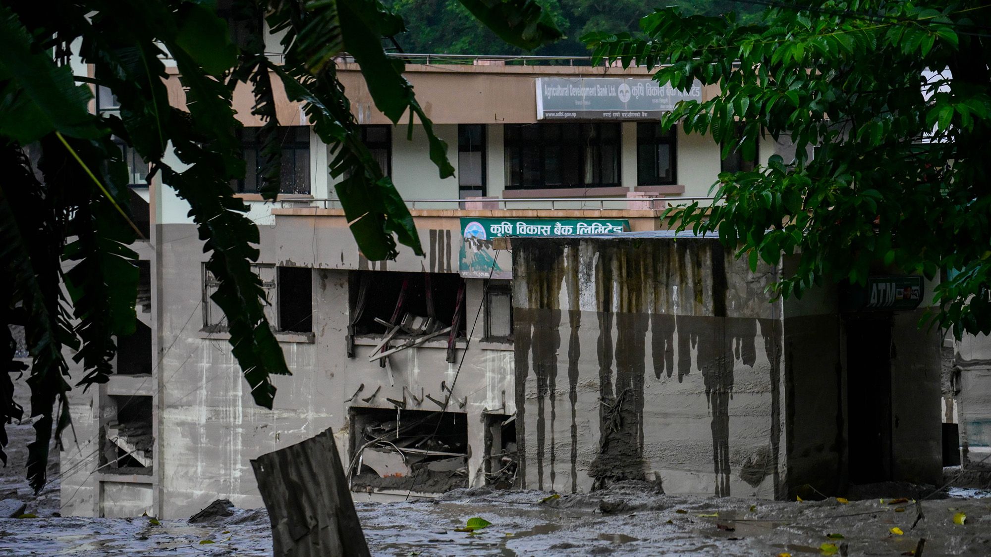
A catastrophic glacier collapse in the Nepal-Tibet border region has triggered devastating flash floods that have claimed more than 330 lives, with over 1,500 people reported missing. The disaster occurred early Wednesday morning when a massive section of ice and rock gave way at high elevation, sending a torrent of debris and water downstream through several river valleys.
Scientific analysis reveals the intensity of the event when seismic instruments initially registered the collapse as a magnitude 5.2 earthquake. Water levels in the Trishuli River surged dramatically, rising approximately 30 feet within just half an hour near Kathmandu. Researchers suggest the glacier material may have temporarily blocked the river before releasing an even larger surge of floodwaters downstream, creating what scientists term a “hazard cascade.”
Authorities have issued warnings about potential additional flooding risks in the coming days, as debris deposited by the initial surge could trigger secondary landslides or create temporary dams that generate further hazards. Experts emphasize that while climate change is altering conditions across the Himalayan region, the specific cause of this particular glacier failure remains under investigation.
Looking ahead, researchers advocate for integrated monitoring systems combining satellite surveillance, seismic data, and river gauges to better detect such cascading disasters. Comprehensive infrastructure planning and evacuation protocols will be essential for managing future risks in these vulnerable mountain regions.
Originally reported by Livescience →
About the Author