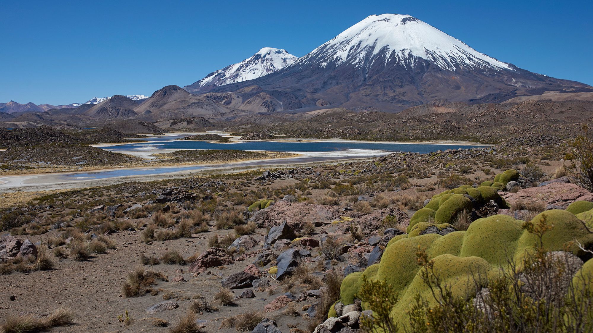
Researchers have discovered that a massive volcanic eruption in northern Chile approximately 22 million years ago preserved crucial information about the early development of the Andes Mountains. The eruption from Lauca Caldera created a layer of ignimbrite, a volcanic rock formed when superheated gas, ash, and rock sweep across terrain in a destructive wave. This geological phenomenon mirrors the famous eruption of Mount Vesuvius in Roman times, which similarly entombed an entire landscape beneath volcanic material.
A study published in September in Science Advances analyzed the preserved landscape hidden beneath this volcanic blanket to determine what the terrain looked like before the eruption. Researchers found that the region contained gently rolling foothills rather than steep mountain peaks, suggesting the Andes were still in their formative stages. By examining the shape of the volcanic deposits and applying knowledge about how rivers shape mountain terrain, scientists were able to reconstruct details of the buried landscape without excavation.
The analysis revealed that crustal uplift in the region occurred at a modest rate of approximately 0.16 miles per million years during this period. This gradual process supports the theory that the Andes grew slowly and steadily over 40 to 50 million years, rather than experiencing sudden rapid growth in recent geological history. Researchers indicate this same investigative method could be applied to understanding the formation of mountain ranges in other parts of the world.
Originally reported by Livescience →
About the Author