
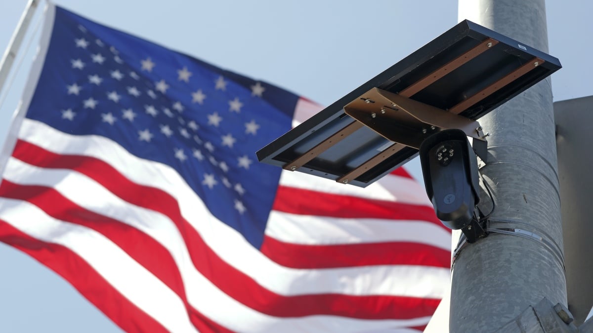
A new crowdsourced mapping application called DeFlock Maps is enabling residents to locate automated license plate readers in their neighborhoods. The tool, which relies on volunteer contributions and the OpenStreetMap platform, identifies surveillance cameras installed by Flock Safety and competing manufacturers across the United States.
Flock Safety operates a network exceeding 120,000 cameras positioned throughout 49 states. These devices photograph vehicles and record details including license plates, vehicle descriptions, and visible distinguishing features. The technology is deployed by police departments, businesses, schools, and neighborhood associations. DeFlock’s current database contains approximately 129,000 tracked devices, with roughly 82 percent belonging to Flock Safety.
The application addresses growing concerns about surveillance expansion in American communities. According to DeFlock’s documentation, the initiative aims to increase transparency by creating a searchable public record of surveillance infrastructure. The platform emphasizes that camera location data originates from community volunteers rather than private corporations or government agencies, and assures users that no personal information is collected by the application itself.
Flock cameras have faced mounting criticism from privacy advocates and some residents, with one Minnesota municipality even removing all devices from its jurisdiction. Despite this opposition, law enforcement continues adopting the technology for investigative purposes, citing enhanced tracking capabilities for vehicle movements across wider geographic areas.
Originally reported by Mashable →
About the Author