Scientists Have Mapped The Invisible ‘Rivers’ Flowing Through The Sky Above South America
 They nourish the world.
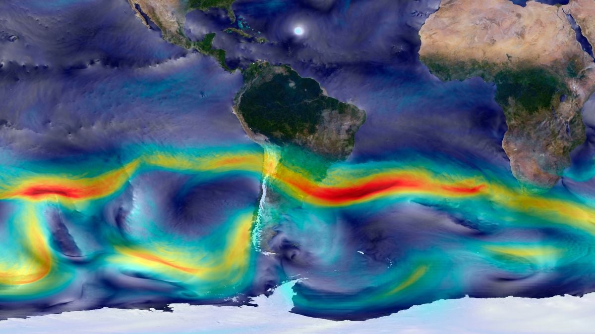
Researchers have successfully charted atmospheric moisture pathways flowing across South America, revealing complex systems that transport water vapor through the sky. These “aerial rivers” function as persistent corridors of moisture movement driven by wind patterns, ocean evaporation, and vegetation transpiration. Unlike their shorter-lived counterparts known as atmospheric rivers, these aerial systems operate continuously and profoundly influence regional rainfall patterns and water availability across vast geographic scales.
The study categorized South American aerial rivers into four distinct types based on their characteristics and geographic position. Coastal entry zones receive moisture-laden air from ocean sources, while inland transition areas experience varying moisture levels as water vapor moves deeper into the continent. Regions farthest from moisture sources tend to experience water scarcity, creating challenges for densely populated cities. Understanding these patterns allows scientists to identify which areas depend most heavily on aerial river systems for their water supply.
Managing these atmospheric water systems presents significant challenges, as wind shifts can rapidly alter moisture flow direction within a single day. Researchers emphasize that preserving forests and vegetation in upwind regions proves critical, since deforestation can reduce rainfall by up to 50 percent in downwind areas. Because these moisture pathways cross political boundaries, effective water management requires cooperation between multiple governing bodies and regional authorities.
The research provides a mathematical framework for analyzing aerial rivers globally, offering potential solutions for addressing water security amid climate change. Scientists suggest this approach could ultimately reshape continental water management strategies and combat worldwide water scarcity.
Originally reported by Sciencealert →
About the Author